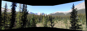
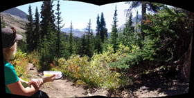
The parking area for Nigel Pass is situated along the Icefields Parkway (Hwy 93), 9km south of the Columbia Icefield Centre and 1km north of the “Big Bend”. To reach the trailhead, you need to follow the road down (north) past the interpretive signs and then right (east) across a footbridge. The trail from that point all the way to the pass is very easy to follow, with no real route-finding required. The only challenges along the route are a pair of water crossings, which were barely flowing and easy to cross by late August, and an increase in trail steepness encountered before reaching the pass.
 The hike to Nigel Pass is 7.2 km long and starts out with a 2.1 km walk along a gravel road heading NW. This road gains elevation at a very steady, but relaxed pace. It is on the SW side of the Nigel Creek valley and was pretty exposed to the sun in late morning. Lupe was glad when the trail left the road and turned N into the shade of the forest. The trail soon passed to the W of a group of old buildings and then continued downhill for a short stretch to footbridges across Hilda Creek and then Nigel Creek just above their confluence. The hike to Nigel Pass is 7.2 km long and starts out with a 2.1 km walk along a gravel road heading NW. This road gains elevation at a very steady, but relaxed pace. It is on the SW side of the Nigel Creek valley and was pretty exposed to the sun in late morning. Lupe was glad when the trail left the road and turned N into the shade of the forest. The trail soon passed to the W of a group of old buildings and then continued downhill for a short stretch to footbridges across Hilda Creek and then Nigel Creek just above their confluence.

After several km, Nigel Creek turned NW to head even farther away from the trail over to the W side of the valley. The trail itself continued N for another km and then turned NE as it climbed more steeply again through a patch of forest for the final stretch up to Nigel Pass. A couple from Michigan and their two daughters were at the high point on the trail. They had come to Canada to visit relatives in Edmonton, but were now on their way back from a backpacking trip down in the Brazeau River valley.The trail continued over the ridge from this high point losing perhaps 100 feet of elevation down to where it crossed a significant stream visible in the valley to the N. From there the trail turned NW climbing the S side of a mountain, the upper reaches of which looked like one huge slab of rock. The trail actually rose to a higher point over there than where Lupe was now, before dropping a long way down into the Brazeau River valley.

In the remote headwaters of Jasper National Park's Brazeau River, where Poboktan and Jonas Creeks pass, there are huge expanses of alpine meadows that we call the Jasper Highlands! Our hiking journey circumnavigates much of this expanse in a huge triangular route also known as the "Brazeau Loop". The South Branch of the Brazeau River which we follow for the first two days is a very old trail long used by the indigenous people and later followed by European trappers and explorers. Now this trail is used by backpackers and wildlife, including wolves and the elusive mountain caribou.

|

